You’ve dreamed of a trip to Switzerland for years, and you’d like to include some day hikes, but you don’t know where to start? Start here!
In this post, I will make it easy for you to plan a trip to Switzerland that includes beautiful day hikes while avoiding the crowds that flock to the busiest towns and most crowded trails in the Alps.
Here’s my promise to you based on forty years of running hiking trips for Overland, a summer camp for teens based in Williamstown, Massachusetts:
In this post I’ll send you on day hikes where there are no tour buses, no tourists, and no attractions to pay for, just Alpine beauty and authenticity.
Sound good? Then read on to plan your dream trip to Switzerland!
In the information below, I will start by covering the basics of traveling to Switzerland from the U.S.
- Guidance on the best way to fly to Switzerland from the U.S.
- How to make the most of Switzerland’s main airports (Zurich and Geneva).
- Instructions on how to navigate the Swiss Rail (SBB) system.
Once I’ve covered these travel basics, I’ll focus on where to base yourself in Switzerland for excellent day hikes:
- The single best town in Switzerland for day hikes (you’re going to be surprised).
- Where to stay.
- Where to dine out.
Having helped you make your travel plans to Switzerland, I’ll highlight three terrific day hikes:
- The Wasserngrat.
- The Geltenhutte.
- The Giferspitz.
Read on to learn more about planning a great hiking trip in Switzerland.
PART ONE: Guidance on the best way to fly to Switzerland from the U.S.
There are three main points to keep in mind:
- Fly non-stop overnight to Switzerland (avoid making a connection in Europe)
Many of the U.S.’s major cities have non-stop flights to Switzerland. When you fly non-stop to Zurich or Geneva from the U.S., you arrive early in the morning (a big benefit when it comes to fighting jet lag). What’s more, you can travel from the airport in Zurich or Geneva to your mountain destination and arrive there by midday or early afternoon which allows you to take a nice long walk before dinner (another big benefit when fighting jet lag).
- Make the most of Switzerland’s main airports in Zurich and Geneva
These two airports are well designed and thoughtfully outfitted for travelers, so make the most of them! You can do this by: (1) on arrival, have a small meal and plenty of water in one of the airport’s cafes (a light meal and lots of fluids will help you feel better as your body adjusts to jetlag), (2) sort out your train tickets at the SBB office, and (3) get some Swiss francs from an ATM (there’s no need to use a currency change office—just bring your ATM card from home, and be sure to let your bank know that you’ll be in Switzerland). Once you’ve done these things, pick up a snack and water in the airport, then head downstairs to the train station.
- Here’s how to navigate the Swiss Rail (SBB) system.
Before you leave the U.S., spend some time on the Swiss Rail website.
Enter your arrival airport, your arrival day, your arrival time plus sixty minutes (for clearing passport control, having a light meal, buying snacks and water), and your destination. Here’s an example:
If you are arriving on Sunday, June 23, 2024, at 10:00 a.m. and you’re flying to Zurich you’d enter:
- Zürich Flughafen
- Gstaad, Bahnhof
- Su, 23.06.2024
- 11:00
Hit return and prepare to be amazed. There are five excellent connections between 11:15 and 12:15, and each trip is just over three hours long. You can’t lose. You can buy the tickets ahead of time, and you can purchase them individually or get a pass (but that’s an article for another day!).
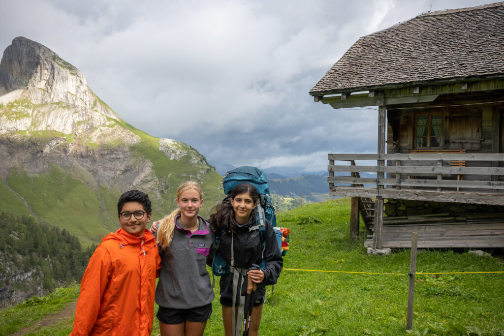
PART TWO: Base yourself in Gstaad, Switzerland, for excellent day hikes
- The best town in Switzerland for day hikes is Gstaad.
And that might surprise you. Gstaad, after all, is famous for its glamor: there are movie stars like Julie Andrews, and there’s Polo Week (where you might spot some minor – or major – royalty). But Gstaad is absolutely the best town for day hikes. Why?
- Gstaad is at the intersection of five valleys. Each valley has gentle valley floor walks, plus more challenging hikes up out of the valley bottom to big views.
- Gstaad has a vibrant center with plenty of visitors, but Gstaad’s visitors tend to stay in the village—they don’t do a lot of hiking. Which is good for you because that means the trails are always uncrowded. In all of our years of hiking in Gstaad (we first started hiking in Gstaad in the late 1990s), we have never felt like there was more than a handful of others out on the trail (and sometimes—in fact, many times—we have been the only hikers on the trail).
- Gstaad’s trails are superbly well signed and expertly maintained. Far and away they are the best trails we’ve hiked in the world.
- The best place to stay in Gstaad is the Posthotel Rössli.
The Posthotel Rössli is right in the center of Gstaad; it is the oldest hotel in Gstaad (it opened as a guesthouse in 1845!); and it was recently (and beautifully) renovated by the fourth generation of the family that has owned it for over one hundred years. It is traditional in design, comfortable, and welcoming. Don’t miss it! If, however, the Post Hotel is all booked up, try the Sport Hotel Victoria (which is not as nice as the Post Hotel, but the staff is warm and welcoming, and the location in the center of Gstaad is excellent), or go on the Gstaad website for a complete listing of accommodations.
- There are three excellent dining options in Gstaad.
Each of the restaurants below is a family-favorite of ours. Since our first trip to Switzerland in the late 1990s, we have enjoyed many evenings at each of these establishments.
- The Brasserie at the Sport Hotel Victoria offers casual dining with a local flavor: check it out for pizzas and salads.
- The Stübli restaurant in the Posthotel Rössli (on the left as you walk into the hotel) is just about as cozy as a restaurant could possibly be; dinner here offers more upscale dining than the Sport Hotel but with a welcoming local feel.
- If you’re looking for fine Italian dining in Gstaad, try the Rialto—a favorite of ours for special occasions.
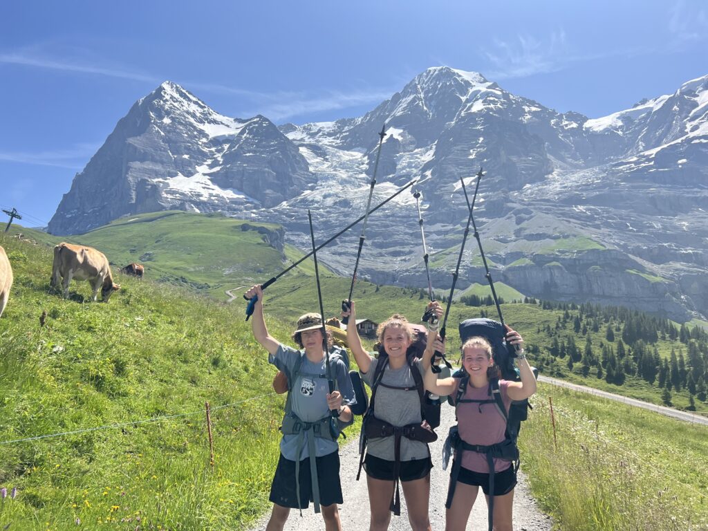
PART THREE: The three best day hikes in Gstaad (and maybe the best day hikes in Switzerland!)
- The Wasserngrat hike is the perfect place to start your day hikes in Gstaad. There are several online descriptions of the hike, and they’re generally fine, but we’ve always hiked the Wasserngrat this way: walk out of Gstaad to the base of the Wasserngrat chair lift. Hike from there to the Wasserngrat restaurant, and from there up onto the ridge. At the far end of the ridge at Turnelsattel, turn left and hike down into the Turnel valley, along the Turnelbach (the Turnel stream). When you leave the forest near the bottom of the valley, you’ll see views of Gstaad off to your left. Follow the route to the left to the base of the Wassengrat chair lift, and return to Gstaad from there. Total time on the trail is about five hours, plus stops for snacks, water, and lunch. Difficulty level is moderate. The trail is in good condition and it is well-marked.
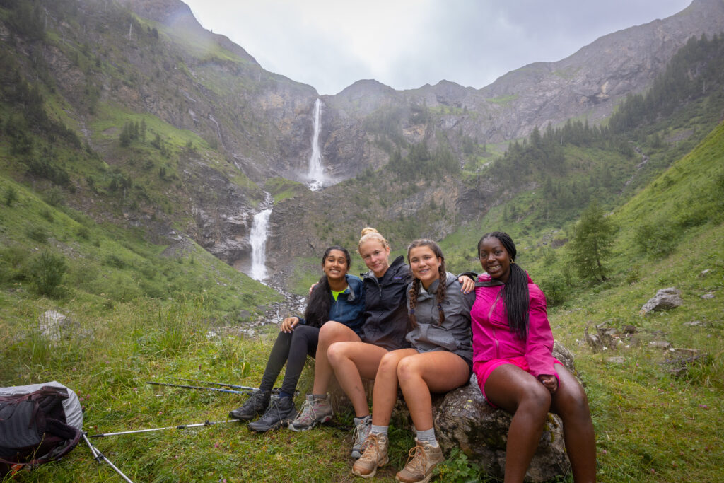
- The Geltenhutte hike might be my favorite hike in the world. I love the terrain: the lake at Lauenensee, the waterfalls just beyond, and the big meadow filled with wildflowers below the rock cliffs. There’s easy access, a well-maintained trail, and an ideal picnic spot at the Geltenhütte where you can bring your own lunch or buy a hot lunch from the hut’s kitchen. The hike begins in Lauenen, a twenty-minute bus ride south of the village of Gstaad. Take the postbus from the center of Gstaad to the main bus stop just beyond the center of the village of Lauenen (there are a pair of handy bathrooms here). We spend about two to three hours on the trail each way, taking short rests as we go. We always have lunch at the Geltenhütte – it’s just so nice to sit down, picnic or order from the kitchen (we do both), and enjoy the sunshine (or, if it’s wet, we go inside to the spotless and oh-so-Swiss dining room). Total time on the trail is about six hours (regardless of which way you return), plus stops for snacks, water, and lunch. Difficulty level is moderate plus. The trail is in good condition and it is well-marked. We tend to retrace our steps on the return, but you can also make a loop out of the hike by leaving the hut and walking along the balcony above the right side of the valley you ascended (this is the east side). I have included a description of this route back to Lauenen in the italicized notes below.
This mountain trail leads from Lauenen into the Gelten valley, dominated by the Gelten waterfall and the Wildhorn. The ascent to the hut leads past ravines and small waterfalls. The ascent, right next to the thundering waterfall, is a unique experience; near the top, the path leads behind a small waterfall. Good surefootedness is required in some places. Then you cross alpine meadows and reach the hut. When you head down, you can (1) retrace your steps, or (2) you can follow the path to Chüetungel which leads along the flank of the mountain beneath the Follhore (there are some stairs and ropes on this path).
- The Giferspitz is the crowning achievement of any ambitious day hiker in Gstaad. It’s not for everybody—it’s long and hard (we’re on the trail for six plus hours), and for a very short stretch (less than 100 meters) it’s a bit steep and exposed, but it is absolutely beautiful! Take the Turbach post bus from the center of Gstaad. Tell the driver you’re hiking the Giferspitz and ask him to drop you near the trail. We typically spend two to three hours going up. From the top we hike down the south ridge to the Lauenhorn (spelled Louwenehore below), then to Turnelsattel. From there we hike down to the Turnelbach (i.e., the stream that runs through the Turnel valley). When the valley opens up with views of Gstaad in the near distance, we bear left toward the base of the Wasserngrat chair lift, and from there we walk back into Gstaad. Total time is about seven hours, plus stops for snacks, water, and lunch. Difficulty level is challenging. The trail is in good condition and it is well-marked. Here’s the description of the hike from the Gstaad website (lightly edited and condensed):
Mountain hike for experienced and sure-footed hikers to the Giferspitz, the highest mountain (the top is over 8,000 feet) in the Saanen region. The hike begins in the village center of Turbach. From here, the trail first crosses the Turbachbach to the other side of the valley. Afterwards, the trail leads through forest and clearings to the point Bärgli. Shortly afterwards the Berzgummbach is crossed. Past alpine huts and over a grassy ridge you reach the Giferhüttli. Over the stony ridge you reach the summit of the Giferspitz (2,541 M.a.s.l.). As a way back, we recommend the hike over the Louwenehore and then via Turnelsattel and Obere Turnels back to Turbach. If this is too strenuous for you, you can also return to the starting point via the ascent route.
How To Choose A Summer Adventure For Your Child
Get first-hand insights into what you should look for when choosing the next summer travel adventure for your child.
