If you’re looking for a great day hike in Rocky Mountain National Park read on to learn more about the Flattop Mountain Hike. This is always one of Overland’s favorite hikes in the Rockies.
This post gives you a first-hand account of the hike from the point of view of veteran Overland leader Grayson Doninger. Grayson led three Overland groups of teens on this hike during the summer of 2023.
Flattop Mountain Day Hike: Table of Contents
- Part One: Flattop Mountain Hike, Information at a Glance
- Part Two: Flattop Mountain Hike, Overview
- Part Three: Report from Overland Leader, Grayson Doninger
- Part Four: Area Map (courtesy of Gaia GPS)
- Part Five: Topo Map and Elevation Profile (courtesy of Gaia GPS)
- Part Six: Flattop Mountain Hike Trailhead Information
- Part Seven: Additional Resources
Part One: Flattop Mountain Hike, Information at a Glance
- Name of Hike: Flattop Mountain
- Location of Hike: Rocky Mountain National Park
- Location of Trailhead: Bear Lake Trailhead – Out and Back
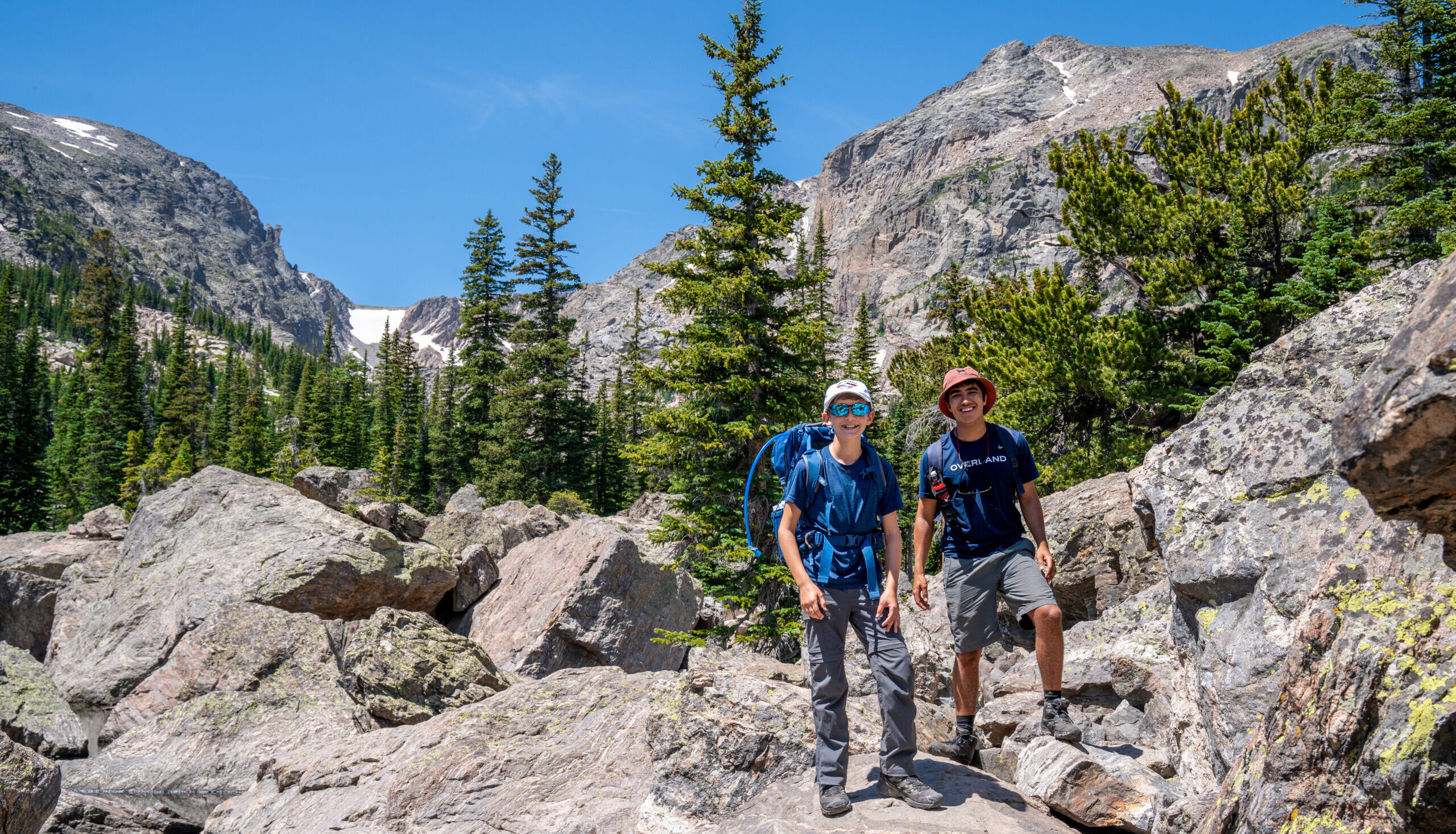
- Trail Notes: Flattop Mountain is a challenging and steep hike, but its views and diversity of landscapes make it all worth it. Ambitious hikers can attempt other summits in the area, including Hallet Peak, Otis Peak, and Ptarmigan Point.
- Difficulty Level: Challenging
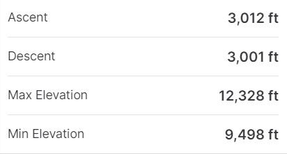
- Roundtrip Miles: Approximately 8.5
- Elevation Gain: Estimated 3,000
- Route highlights:
- You can experience a Krummholz forest: Krummholz is a German term meaning “crooked” or “twisted wood.” These windswept pines look like a master bonsai artist crafted them, and they can include the Bristlecone pine, the oldest living tree on earth, capable of reaching 5,000+ years old.
- The summit of Flattop is a barren tundra that resembles what hikers may see in the Arctic.
- Typical duration: ~ 6 Hour Roundtrip
Part Two: Flattop Mountain Hike, Overview
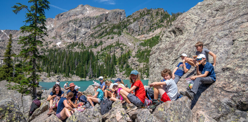
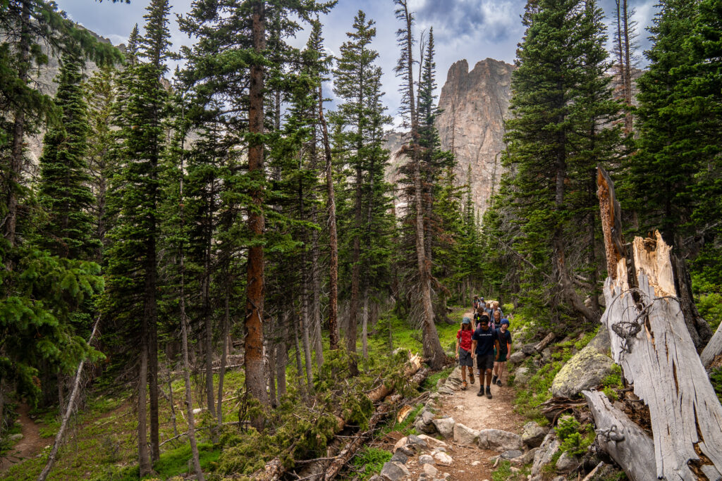
One of my favorite hikes is Flattop Mountain, located in RMNP, and starts at the Bear Lake Trailhead. Depending on weather conditions the hike can range from easy to moderate with windy conditions adding some challenge above the tree line. Roundtrip is just under 8.5 miles with an elevation gain of 3,012 ft.
Starting the hike at Bear Lake, you ascend fairly quickly into a stand of aspens. While continuing to gain elevation, you pass a few scenic points, getting to see where you started the hike and beyond! Once above tree line, the views are amazing, but it can be windy. Before reaching the summit, we passed through a large area of snow which was a fun challenge for both students and leaders. Reaching the summit, it becomes apparent why it is called Flattop Mountain with it being a large, flat bit of land. You are able to look out at the taller mountains around and in the valleys where we had set up our base camp.
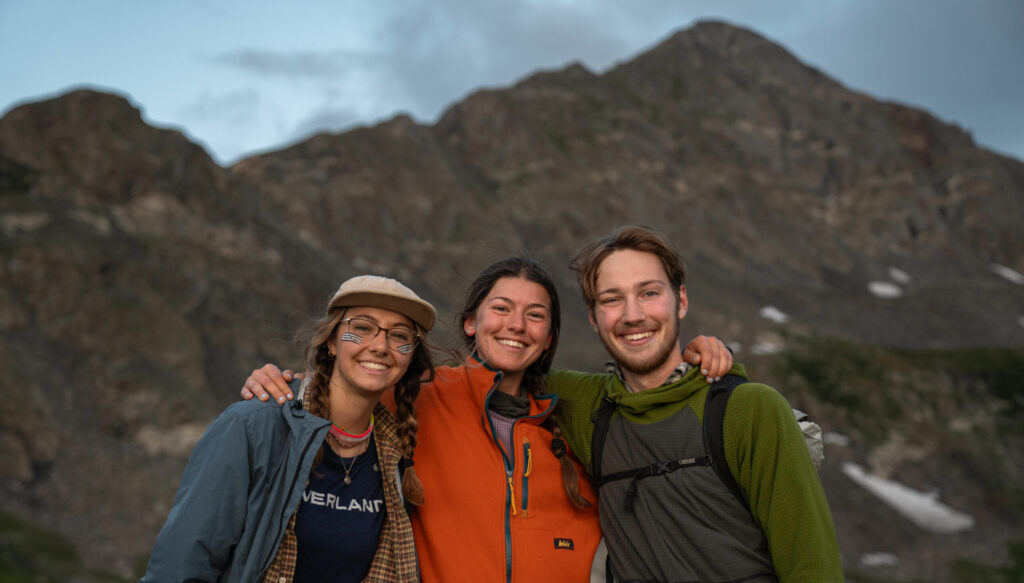
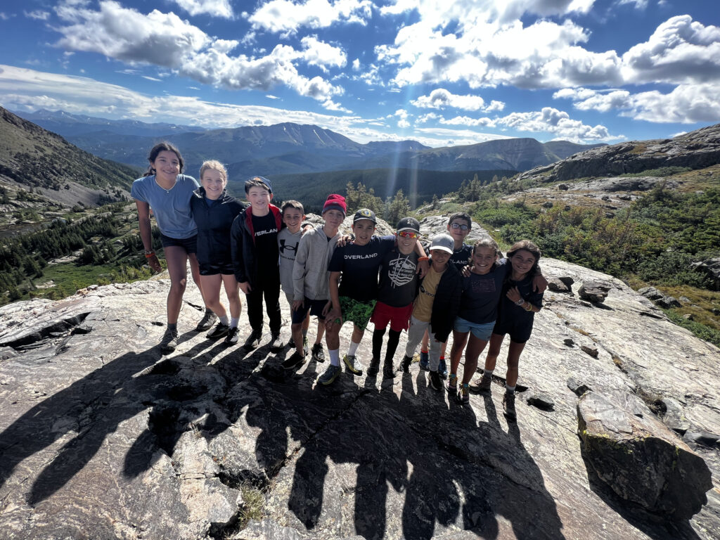
Part Three: Report from Overland Leader, Grayson Doninger
I love this hike because it is a good challenge with a great reward. Moving through different tree stands as we gained altitude was super interesting to see. The hike itself isn’t too difficult, but reaching the peak with a group of adventure kids was especially rewarding. Many scenic lookout points, great trail, rewarding end. This is definitely one of my favorite hikes in RMNP!
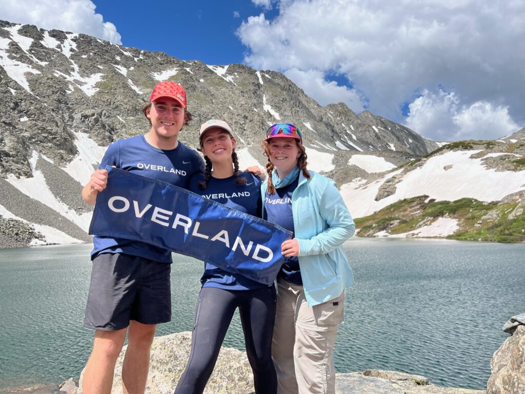
OVERLAND LEADER PROFILE: GRAYSON DONINGER
Hometown: Louisville, Kentucky
College, Major, Year of Graduation: UVM, Environmental Sciences, 2026
Trips led: Rocky Mountain Adventure and New England Explorer ‘23, Yellowstone Teton Explorer ‘24
A quote from a co-leader
“Grayson was an absolutely incredible leader and the week I led with him helped me improve as a leader and be the best version of myself for the kids. He was very intuitive to the needs of the group and was always looking to help. He was able to jump in on any task without even being asked and his attention to detail made everything easier. He integrated seamlessly into the group, despite coming in half way through the trip and was able to immediately connect with students in a very impressive manner.” Arden Hunt
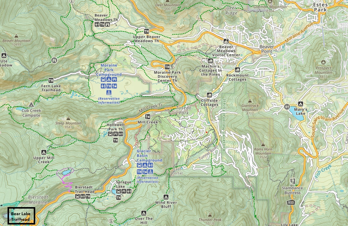
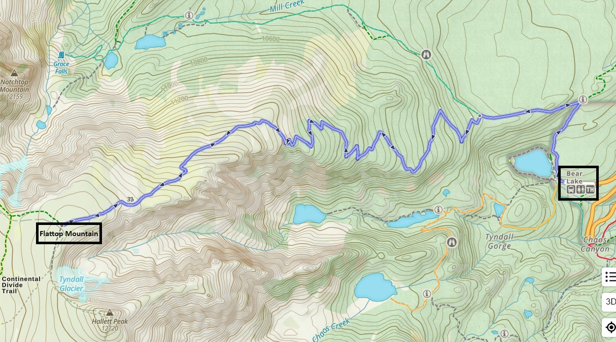
Part Four: Area Map (courtesy of Gaia GPS)
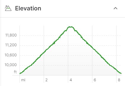
Part Five: Topo Map and Elevation Profile (courtesy of Gaia GPS)
Part Six: Flattop Mountain Hike Trailhead Information
Bear Lake Road Corridor Information
Part Seven: Additional Resources
The National Park Service offers this storm warning: Weather in Colorado can turn in an instant. Be prepared for changing weather conditions. Check the forecast before heading out. Lightning can strike anywhere in RMNP. Watch for building storm clouds and return to the trailhead immediately if you hear thunder. As a general rule, try to be back at the trailhead by noon.
How To Choose A Summer Adventure For Your Child
Get first-hand insights into what you should look for when choosing the next summer travel adventure for your child.